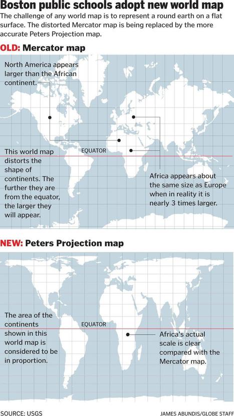

Social studies classrooms throughout the Boston public school system are getting an upgrade some 448 years in the making.
Get Started for FREE
Sign up with Facebook Sign up with X
I don't have a Facebook or a X account


 Your new post is loading...
 Your new post is loading...
Your new post is loading...
Social studies classrooms throughout the Boston public school system are getting an upgrade some 448 years in the making. 
No comment yet.
Sign up to comment
|
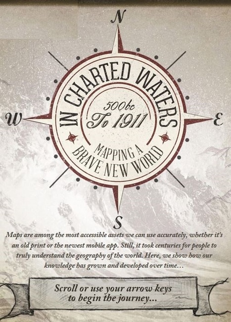
Use our interactive In Charted Waters tool which shows information & visuals on how our knowledge of the world map has evolved. Click headline to access this interactive learning tool--

Robert Slone's curator insight,
February 25, 2015 7:23 AM
This interactive map is phenomenal teaching tool that would be great for teaching elementary school children introductory geography, 
Samuel Meyer's curator insight,
March 23, 2015 12:00 PM
It is notable that the world's map has changed much since the advent of cartography, and many believed that the Americas were part of Asia. This is represented in the map. |